
Tourism & geography
Districts and Lira City
Nine districts and one city make up the Lango sub-region. Open any of them for its people, its economy, what it is best known for and where to go.
- 2,546,118
- People in the sub-region (2024 census)
- 10
- Districts and cities
- 10,576 km²
- Combined area
- Oyam
- Most populous
Explore
Choose a district
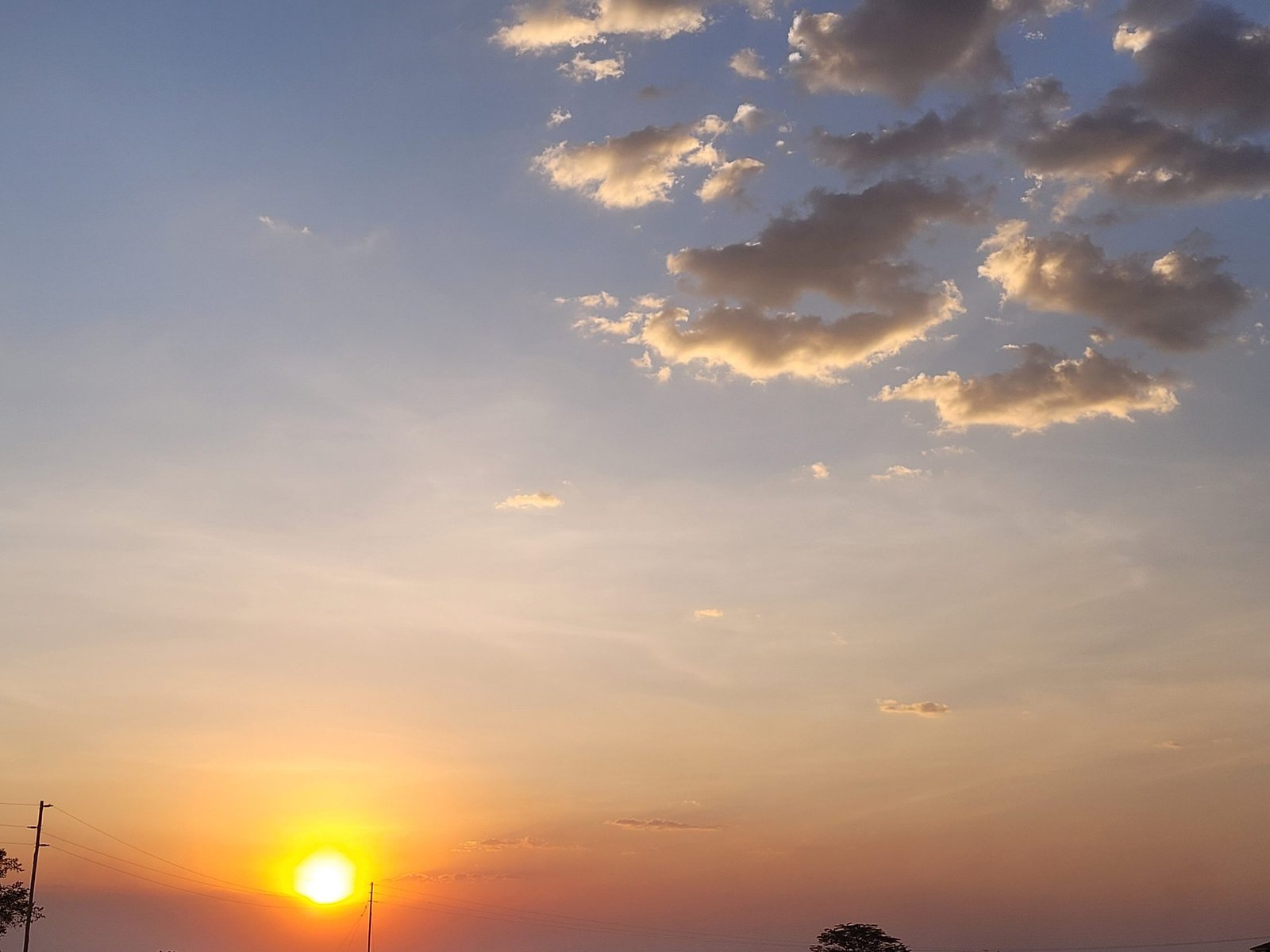 Lira CityCity
Headquarters: Lira City
The commercial and industrial capital of the Lango su…Home of Lira University and the Lira Regional Referra…Ngetta Rock, a landmark granite outcrop on the edge o…
245,132people—km²2020city since
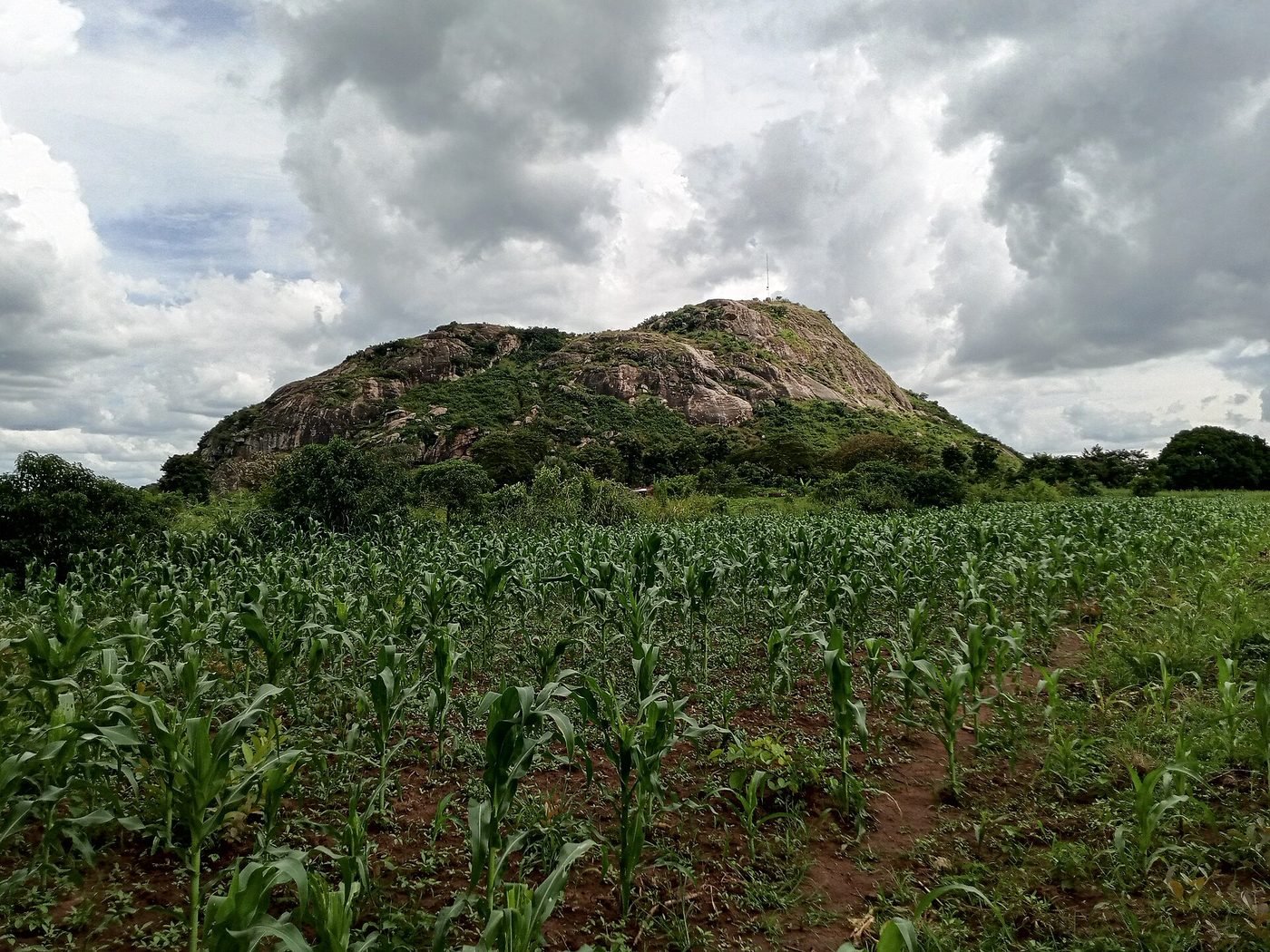 Lira
Headquarters: Lira
The mother district of Lango: Dokolo, Otuke and Alebt…Grain milling, brick and pottery making, embroidery a…Home of John Akii-Bua and Maj. Gen. Oyite-Ojok
242,216people1,369km²1974created
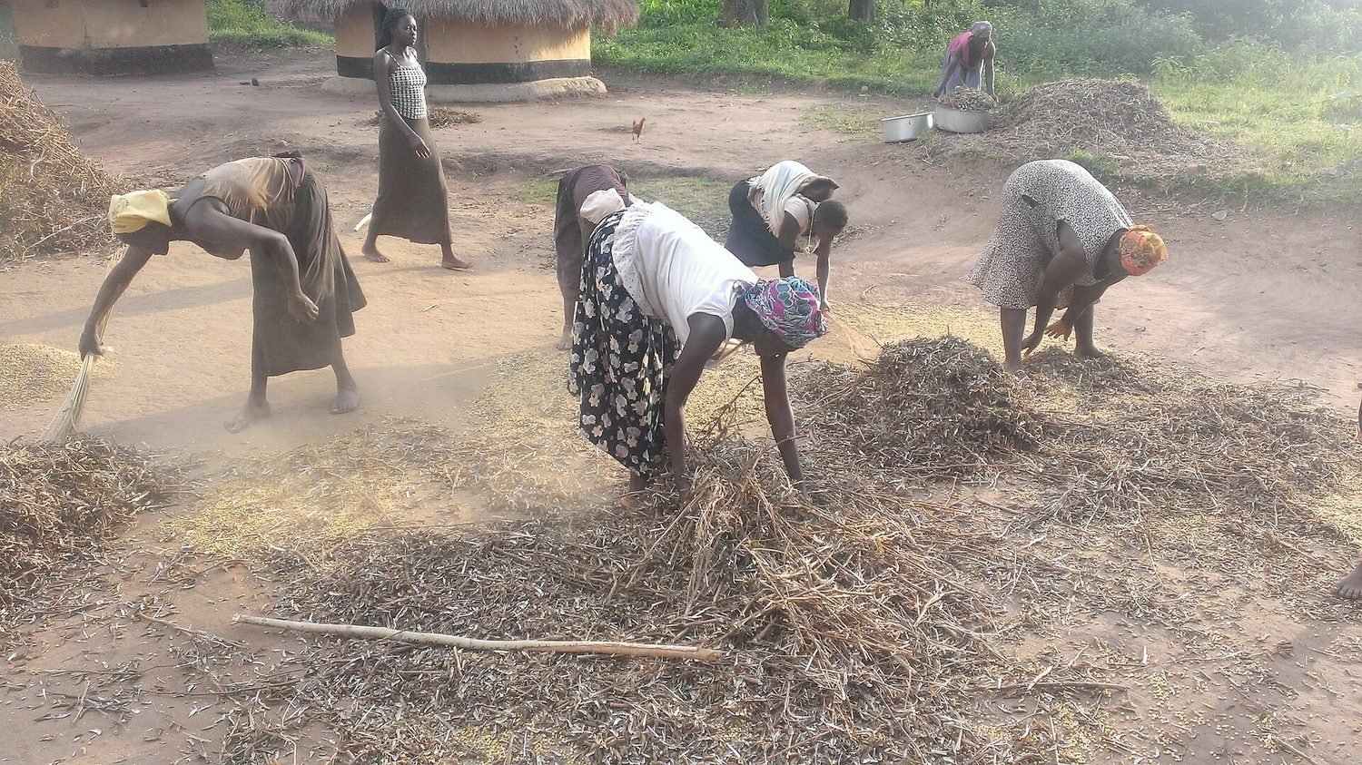 Apac
Headquarters: Apac
The birthplace of Dr. Apollo Milton Obote at AkokoroThe Obote ancestral home and monument, a national her…Tobacco, cotton and sesame farming
221,962people—km²1974created
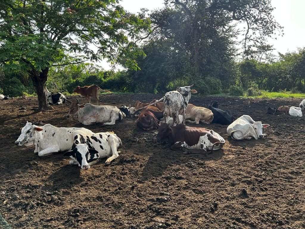 Oyam
Headquarters: Oyam
The most populous district in the sub-regionCotton, bananas (matooke), millet, pineapples and soy…The western gateway of Lango towards the Nile
477,464people2,191km²2006created
 Kole
Headquarters: Kole
A young, fast-growing district just north-west of LiraSub-counties of Aboke, Akalo, Alito, Ayer and BalaFarming, printing and construction businesses
294,301people—km²2010created
 Dokolo
Headquarters: Dokolo
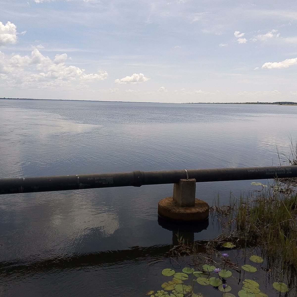
A district on the shores of Lake KwaniaTen sub-counties and two constituencies (Dokolo North…Crop farming, poultry and transport
215,625people1,073km²2005created
 Amolatar
Headquarters: Amolatar
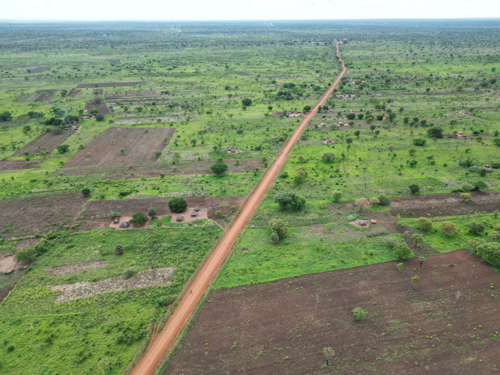
The Amolatar Monument marking the geographic centre o…Commercial fishing on lakes Kyoga and KwaniaCotton, rice, cassava and soybeans
188,715people1,758km²2005created
 Alebtong
Headquarters: Alebtong
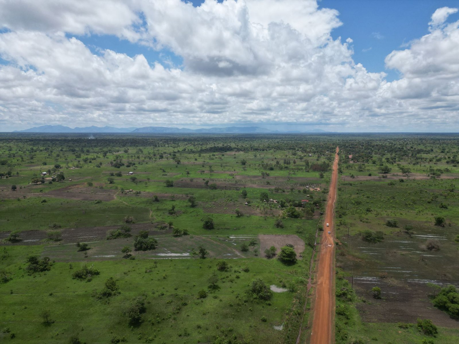
Sweet potatoes, maize and beansTwo counties, Ajuri and MorotoA bridge between Lango and the Teso and Karamoja regi…
283,509people1,528km²2010created
 Otuke
Headquarters: Otuke
The north-eastern corner of Lango, at about 1,200 met…Maize, simsim (sesame), beans and cassavaA meeting point of Lango and Karamoja cultures
161,069people1,550km²2009created
 Kwania
Headquarters: Aduku
The newest district in Lango, created in 2018Lake Kwania, a large part of the district is open wat…About 15% of the district is forest
216,125people1,108km²2018created
On the map
Where they are
Pins show approximate district and city centres. Click a pin to open the page.
Side by side
Compare the districts
| District | Headquarters | Population | Area (km²) | People per km² | Created | Carved from |
|---|---|---|---|---|---|---|
| Lira City | Lira City | 245,132 | — | — | 2020 | Lira District |
| Lira | Lira | 242,216 | 1,369 | 177 | 1974 | Lango District (split in 1974) |
| Apac | Apac | 221,962 | — | — | 1974 | Lango District (split in 1974) |
| Oyam | Oyam | 477,464 | 2,191 | 218 | 2006 | Apac District |
| Kole | Kole | 294,301 | — | — | 2010 | Apac District |
| Dokolo | Dokolo | 215,625 | 1,073 | 201 | 2005 | Lira District |
| Amolatar | Amolatar | 188,715 | 1,758 | 107 | 2005 | |
| Alebtong | Alebtong | 283,509 | 1,528 | 186 | 2010 | Lira District |
| Otuke | Otuke | 161,069 | 1,550 | 104 | 2009 | Lira District |
| Kwania | Aduku | 216,125 | 1,108 | 195 | 2018 | Apac District |
| Lango sub-region | 2,546,118 | 10,576 | 241 | |||
Source: Uganda Bureau of Statistics, National Population and Housing Census 2024. Areas and creation dates are compiled from published sources and are still being reviewed.